REAL-TIME GPS TRACKING
Real Time GPS vehicle tracking and monitoring is at the core of GPS tracking systems and is an effective service that any company that owns a fleet of vehicles should take advantage of.
The Nukah GPS app optimizes the way you track vehicles, streamlines fleet coordination and brings a substantial reduction in operational costs.
This product offers:
- Live Tracking – real-time monitoring of your current location
- Location by date – see the location of vehicles on the map at any selected date and time
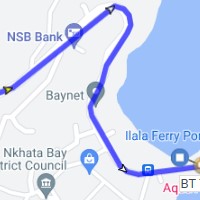
- Routes – view vehicle routes over a certain period on the map
- Dynamic icon – notice the activity change of active vehicles
GPS TRACKING
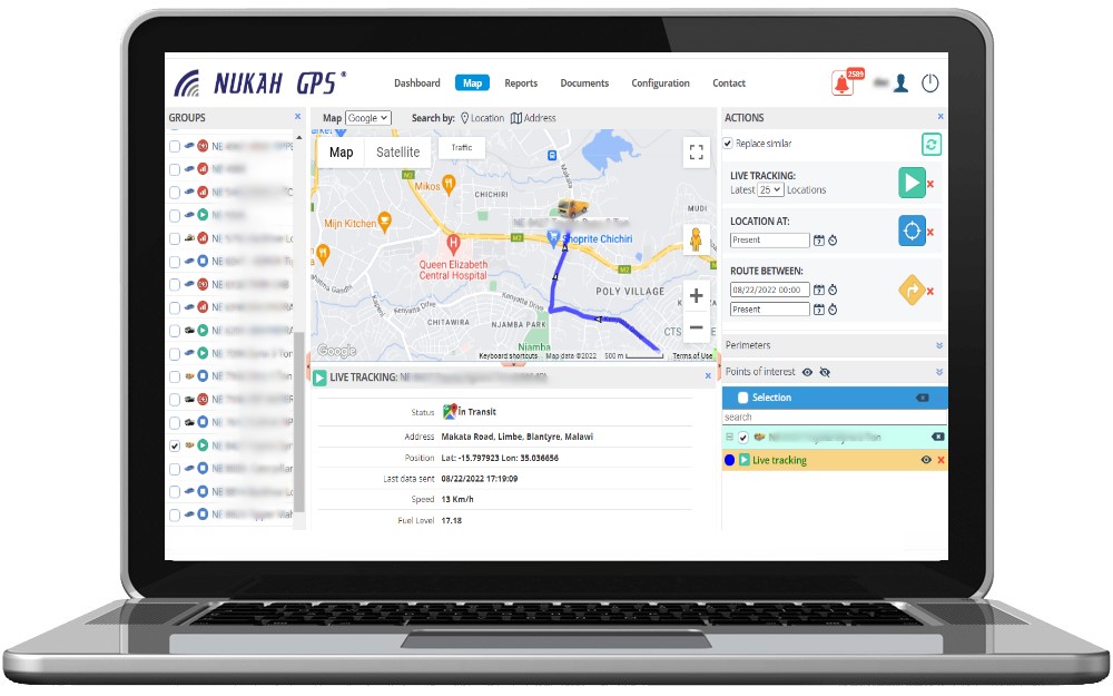
The GPS monitoring system displays the location data of the vehicle in real time, just a few clicks away.
LIVE TRACKING
ROUTE BETWEEN
LOCATION ON DATE
Display on the map the location of a vehicle at any selected date and time
BENEFITS
Find out what benefits you get using the Nukah GPS Car Tracking and Monitoring system
Monitoring
- Monitoring of kilometers traveled
- Liability of drivers
- Daily activity history

Cost Reduction
- Decrease in the number of km traveled
- Reducing fuel costs
- Reducing maintenance costs
Optimizing activities
- Optimizing fleet utilization
- Improving response times
- Simplifying administrative work
Safety
- Fraud reduction
- Reduction of car thefts
- Insurance of transported goods
FEATURES
How it works and what you can do in the Nukah GPS Monitoring App
- Locating and monitoring any number of vehicles simultaneously, in real time
- Route history (on one or more vehicles)
- Dynamic reconstruction of routes taken
- Multiple maps with a high level of detail (OSM, Google Map, Sattelite View, Street View)
- View data in real time (speed, address, fuel level, temperature)
- The possibility of comparing routes
- Graph with data obtained during the move
- Proximity vehicles in front of a set location
- Search for addresses/coordinates on the map
- Transmission of data with a frequency set by a dynamic algorithm according to time, distance or change of walking direction
- Display on the map the location on a certain date
- Display events on the map in real time
- Highlighting long-term stationary directly on the map
- Changing the state of the vehicle on the map dynamically in real time
- Easy detection of speeding by changing the color of the travel points on the map.
INDUSTRIES RELATED TO THE PRODUCT
dISTRIBUTION
TRANSPORTATION
LIGHT Commercial Vehicles
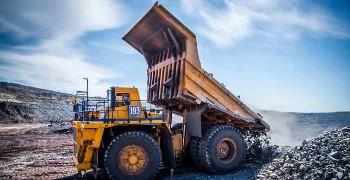
CONSTRUCTION
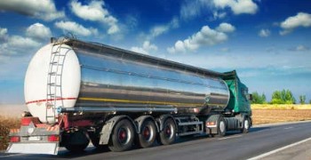
Oil & Gas
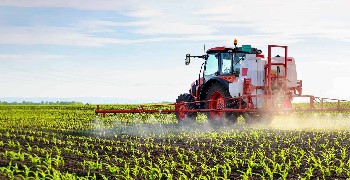
Agriculture
PUBLIC TRANSPORT
Taxi
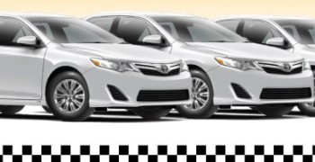
car hire
NUKAH GPS PRODUCT USED SUCCESSFULLY BY: